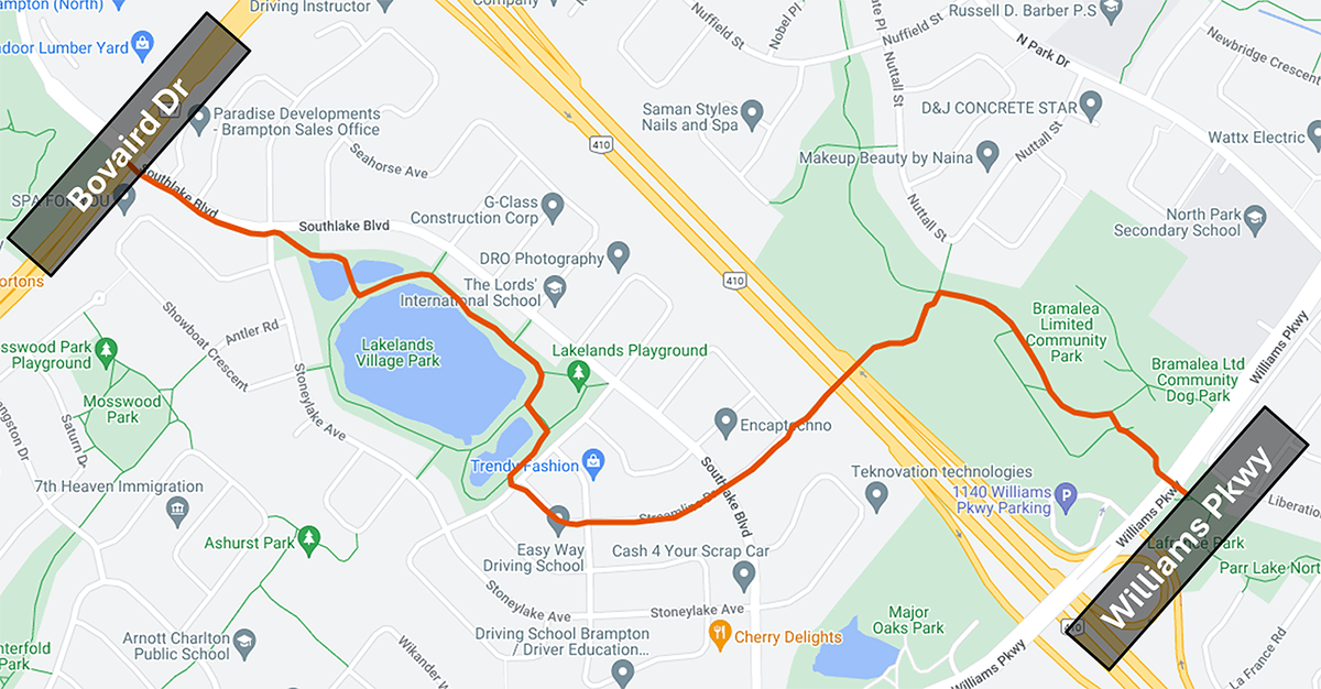
The Esker Lake Trail Wayfinding Pilot will enhance signage and wayfinding along the Esker Lake Trail and encourage use of the trail as a viable option for walking, cycling, and micromobility. The project covers Wards 1 and 7. The project’s scope includes a portion of the Esker Lake Trail from Bovaird Drive East to Williams Parkway.
Wayfinding Introduction
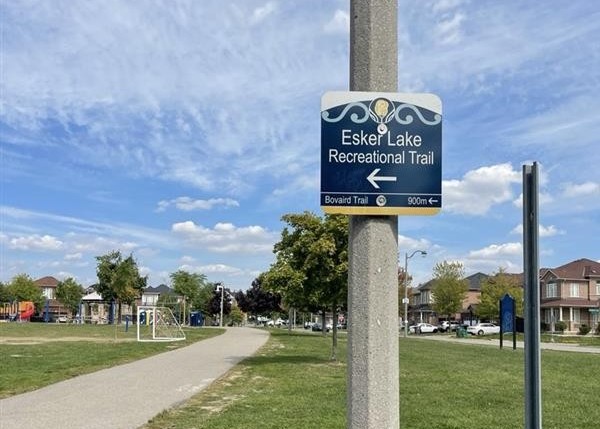
Wayfinding signage is a system of signs and maps to support people in navigating and orienting themselves in their surroundings. It provides information and confirms their orientation along their route. Explore more information on the
City’s wayfinding signage approach here.
Wayfinding signs support guiding users at key decision points. The project will also include trailhead signs and local destinations. The Esker Lake Pilot’s signage approach will consider user behaviour, clarity, as well as support for finding local destinations, as well as relevant plans.
Wayfinding Pilot Background
The pilot began in 2025, based on direction from City Council and the Active Transportation Advisory Committee (ATAC). A motion was created for the project, and the Esker Lake Trail was selected as the pilot candidate based on technical review undertaken by Transportation Planning, which indicated it would be the appropriate trail for the pilot project.
Implementation Process
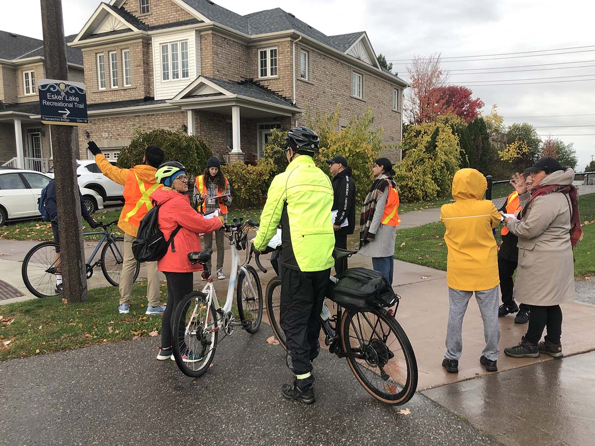
As a part of the pilot process, the City conducted best-practice research and community outreach to determine signage-related wayfinding needs. This included online surveys and a Walking Audit held in collaboration with Peel Region Public Health.
Survey respondents described their main reasons for using the Esker Lake Trail as recreation and exercise, but walkabout attendees and survey respondents noted their interest in enhancing. Key destinations like parks, schools, and trail entrances were identified as lacking clear directional signs.
Leverage Existing Designs and Best Practice
This project will draw from external plans and pertinent City of Brampton plans, which include the
Active Transportation Master Plan (ATMP),
Pathways Master Plan,
Recreational Trail Guidelines, and
Outdoor Master Wayfinding Program.
Next Steps
After completing this pilot, the City plans to sign other trails similarly to enhance wayfinding and utilitarian travel capabilities.
