The City of Brampton is undertaking a Street Art and Traffic Calming Initiative project in the Bramalea neighbourhood of Knightsbridge. The proposed intervention will transform Kings Cross Road into a safer, people-friendly street through quick-build traffic calming measures that combine safety, art, and community placemaking.
Knightsbridge has limited traffic calming mitigation. Traffic calming is a coordinated set of strategies to reduce the frequency and severity of motor-vehicle collisions, which seeks to enhance the safety, mobility, and comfort of vulnerable road users. The design will advance traffic calming by reducing travel lanes from five to three and introducing painted curb extensions, flexible bollards, and designated on-street parking to visually narrow the roadway, slow vehicle speeds, and shorten pedestrian crossing distances.
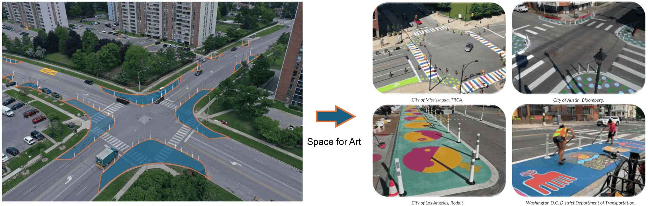 The project will focus on Kings Cross Road between Queen Street and Clark Boulevard and include major intersections at Knightsbridge Road and Kensington Road. The route links key destinations and community amenities, including the Bramalea Bus Terminal, the Chinguacousy Trail, parks, and schools.
The initiative will enhance safety, accessibility, and livability in a high-density community while advancing Brampton’s broader goals of active transportation, youth engagement, and sustainability. The project will create safer, more engaging routes for students walking, biking, or rolling to school through art-based traffic calming. It will serve as Brampton’s first street-art-based traffic calming initiative, creating a model that can be replicated across the city and beyond.
